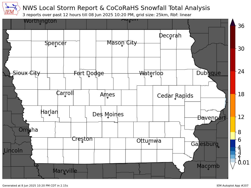
A great tool that the Iowa Environmental Mesonet has came up with and is now featuring on their front page. This is a graphical representation of all the snowfall reports that have came in within the past 4 hours across the state of Iowa, and is updated approximately every 5 minutes. Be sure to check it out:
Husband, Father, & Meteorologist.
Randomness of family, rural Kansas life, weather, climate, photography, & household projects.
Menu
Widgets
Social Links
Search
About
Blog Archive
-
▼
2009
(169)
-
▼
December
(20)
- Just A Little More...
- Winter Storm: Dec. 23-25 Overview
- Winter Storm: Dec. 23-25 Update #6
- Winter Storm: Dec. 23-25 Update #5
- Winter Storm: Dec. 23-25 Update #4
- Winter Storm: Dec. 23-25 Update #3
- Winter Storm: Dec. 23-25 Update #2
- Winter Storm: Dec. 23-25 Update #1
- Winter Storm: Dec. 23-25
- Christmas Blizzard?!?!
- A Light Wintery Mix
- Arctic Air & Snow Depth Wrap-Up
- Winter Storm: Dec. 7/8 Update #6
- Winter Storm: Dec. 7/8 Update #5
- Winter Storm: Dec. 7/8 Update #4
- Winter Storm: Dec. 7/8 Update #3
- Winter Storm: Dec. 7/8 Update #2
- Winter Storm: Dec. 7/8 Update #1
- Winter Storm: Dec. 7/8
- A Return to Snow... Lots of Snow...
-
▼
December
(20)
Popular Posts
-
My wife & I needed a new mattress as we were sleeping on one that was at least 15 years old. She has always wanted to get a king size be...
-
A strong shortwave and associated vorticity maxima is currently located over extreme northeast Kansas and northwest Missouri. This shortwave...
-
Numerous clusters of thunderstorms continue across portions of the Central and Southern Plains tonight, with a continued risk of a few sever...
-
In what will be a ritual for the rest of the football season, here is my ‘official’ forecast for the Iowa State vs UNLV football game that ...
-
Mild temperatures and an ambitious brother-in-law meant the opportunity to continue the cleanup of Cedar trees in the rear of the property. ...
Powered by Blogger.


1 comments:
Wow! This is a crazy winter for Iowa already! Measureable snow in October, almost none in November and a huge storm before Christmas!
Post a Comment